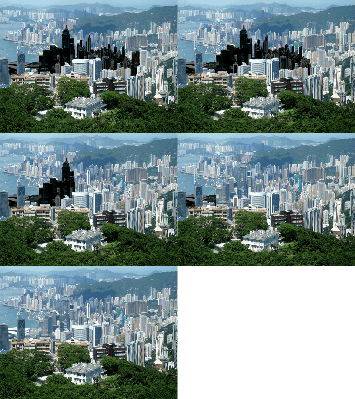
Wan Chai was called Ha Wan in the early colonial days. It was a shallow rocky bay between the spurs of Morrison Hill, on the east, and another in Admiralty, on the west. Its coastline could be mapped eastward from Tai Fat Hau at Queen’s Road East to Wan Chai Road down below Ruttonjee Hospital. This arc-shaped bay formed a cove that “Wan Chai”, literally meaning “Cove”, suggests. In those days, there was a river running downhill, from Wan Chai Gap to today’s Stone Nullah Lane and Spring Garden Lane, then into the sea — that is, where Johnston Road is today. It is to say that the entire area north of Queen’s Road East had been a wilderness of water, which receded from our view only after a hundred-some year of reclamations.
