

 BACK
BACK  CLOSE
CLOSE 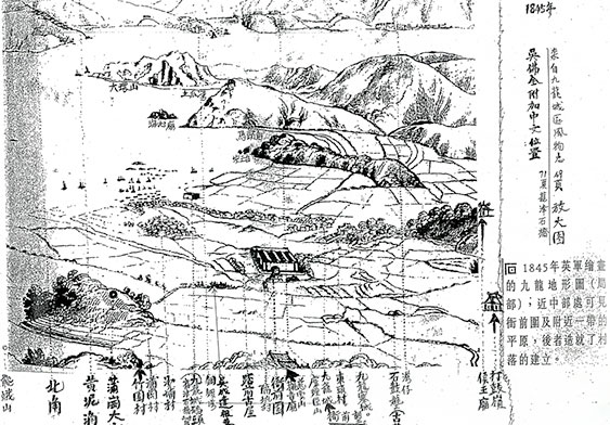
Collinson's Map
In 1845 Lieutenant T.B. Collinson of British Army climbed the Tsz Wan Mountain and drew a topographic map of Kowloon. Ng Fat Chuen added place names on the map.-Provided by Ng Fat Chuen
Collinson's Map
In 1845 Lieutenant T.B. Collinson of British Army climbed the Tsz Wan Mountain and drew a topographic map of Kowloon. Ng Fat Chuen added place names on the map.-Provided by Ng Fat Chuen
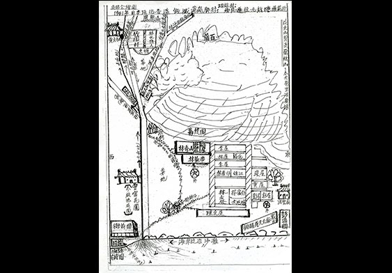
A hand-written map of Po Kong Village
Before 1941 Ng Fat Chuen often played at Po Kong Village. He was similar with the landscpae and topography. The village was demolished for the expansoin of Kai Tak Airport during the Japanese Occupation of Hong Kong.-Provided by Ng Fat Chuen
A hand-written map of Po Kong Village
Before 1941 Ng Fat Chuen often played at Po Kong Village. He was similar with the landscpae and topography. The village was demolished for the expansoin of Kai Tak Airport during the Japanese Occupation of Hong Kong.-Provided by Ng Fat Chuen
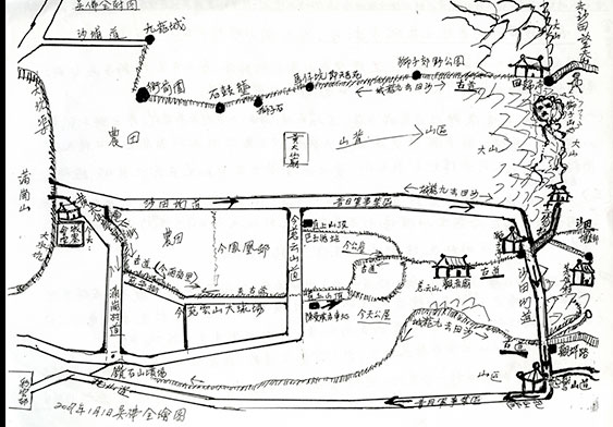
A hand-written map showing old village paths in Kowloon
Ng Fat Chuen drew a map showing old paths linking villages in Kowloon City and Lion Rock, Kwun Yum Mountain. -Provided by Ng Fat Chuen
A hand-written map showing old village paths in Kowloon
Ng Fat Chuen drew a map showing old paths linking villages in Kowloon City and Lion Rock, Kwun Yum Mountain. -Provided by Ng Fat Chuen
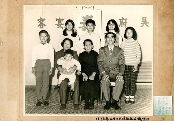
A portrait of Ng Fat Chuen' family
Ng Fat Cheun took a picture with his mother, wife and 7 children during his mother's 61th birthday. -Provided by Ng Fat Chuen
A portrait of Ng Fat Chuen' family
Ng Fat Cheun took a picture with his mother, wife and 7 children during his mother's 61th birthday. -Provided by Ng Fat Chuen